UB Forest is flying a Matrice 30T thermal drone to spot Borneo haze fires early — 544 ha under watch, 10 ha per flight.
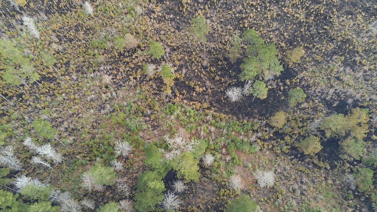
Cover image: Thermal drone monitoring forest for hotspots in UB Forest — photo by NPS Photo, Public domain, via Wikimedia Commons.
Universitas Brawijaya's UB Forest is flying a Matrice 30T thermal drone to catch forest fires early as haze season peaks across Indonesia. The 544.74-hectare education forest on the slopes of Mount Arjuno near Malang, East Java, now uses aerial thermal imaging to spot hotspots before ground crews deploy, with each flight covering about 10 hectares over a 500-metre range for around 30 minutes.
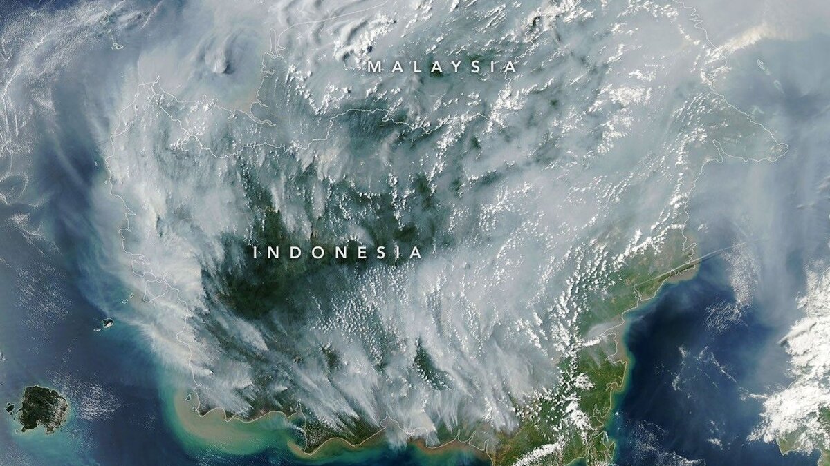
The deployment was detailed on 4 September 2026 by UB Forest protection coordinator Muhammad Yusuf, as Indonesia widens tech-assisted mitigation while peat fires in Kalimantan and Sumatra push haze into Sarawak and Penang.
How does the UB Forest thermal drone work?
UB Forest is designated as an education, research and community forest since 2015. The thermal drone adds an aerial layer to existing foot and motorcycle patrols. According to ANTARA's report, the Matrice 30T can observe about 500 metres and stay airborne for around 30 minutes, after which batteries must be swapped for longer coverage.
Patrols run twice a week. Yusuf said, "If a hotspot is detected, we immediately inspect the site. Any fire found is promptly extinguished." The approach mirrors a national shift toward early detection that was also seen when West and Central Kalimantan hotspots surged past 850 and 620, prompting ministries to blend satellite hotspot data with ground verification.
What did late August patrols find?
Between 25 and 27 August, thermal patrols detected heat signatures outside the managed boundary, raising concern that fires could spread inward. That pattern is common near community lands where land clearing can edge toward forest estates.
The forest involves local cultivators under a cooperation agreement, an inclusion meant to reduce ignition risk and improve reporting. Yulianto Muji Nugroho, technical officer at the Education Laboratory, noted, "On-foot or motorcycle patrols have limited range," while Rifqi Rahmat Hidayatullah of the Forest Area Management UPT said the drone is "helpful for detection, but its flight time is limited to around 30 minutes." The team said longer patrols require additional batteries.
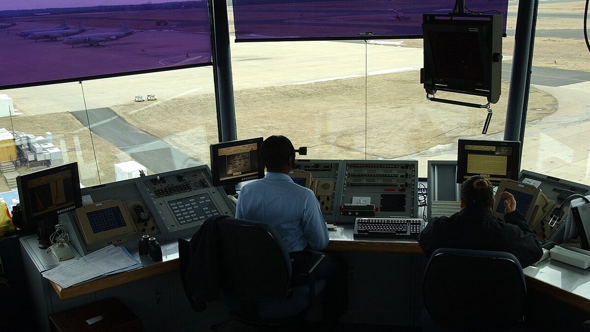
The detection window matters for travel. Early alerts limit the kind of surface smoke that recently halted Melalan Airport flights in East Kalimantan when visibility fell below 1 km and that now blankets Serian.
Can drones replace ground patrols for haze fires?
No, they supplement them. The 10-hectare per-flight coverage means roughly 55 flights would be needed to sweep the entire 544.74 hectares in one pass, without overlapping. Battery limits and terrain mean the system is best for risk spots, boundaries and rapid checks after satellite alerts rather than continuous wall-to-wall surveillance.
Indonesia is scaling mitigation on multiple fronts as September remains the decisive month. In Sumatra, Jambi cloud-seeding operations have dispersed 8 tons of salt to trigger rain, while in Sarawak authorities requested an emergency declaration as Serian's API hit 519. Thermal drones like the Matrice 30T fit that layered strategy, giving forest managers eyes where motorcycles cannot reach quickly.
What does this mean for visitors to East Java forests?
UB Forest itself is not a mass tourism site, but the technique signals how protected areas near Malang, Bromo and Arjuno-Welirang are strengthening fire response during dry spells. For travellers, well-monitored forests are less likely to face sudden trail closures like the recent Mount Tambora hiking closure for fire risk or Rinjani's limited tourism during wildfire risk. Check local forest office notices if you plan trekking in East Java this month.
Frequently asked questions
What is UB Forest using a thermal drone for?
UB Forest, managed by Universitas Brawijaya on Mount Arjuno in East Java, is using a Matrice 30T thermal drone to detect forest fire hotspots early. The drone covers about 10 hectares per flight with a 500-metre observation range and 30-minute endurance, supplementing foot and motorcycle patrols.
How effective is the thermal drone so far?
During 25-27 August patrols, heat signatures were detected outside the managed boundary, prompting ground checks. Coordinator Muhammad Yusuf said if a hotspot is found, crews immediately inspect and extinguish any fire. The drone helps give advance alerts before flames can spread inward.
Why not use drones alone for forest fire patrols?
Flight time is limited to around 30 minutes and requires extra batteries for longer patrols, which run twice a week. Yulianto Muji Nugroho noted on-foot patrols have limited range but drones are also constrained, so the system works as a supplement with farmer groups included under a cooperation agreement.